Geolocate

Kerry topographic map

Interactive map

Click on the map to display elevation.

About this map

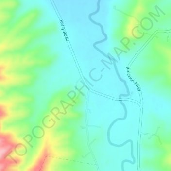
Name: Kerry topographic map, elevation, terrain.

Location: Kerry, Gold Coast, Queensland, Australia (-28.11861 153.02025 -28.09861 153.04025)

Average elevation: 143 m

Minimum elevation: 105 m

Maximum elevation: 253 m

Queensland trails, hiking, mountain biking, running and outdoor activities

Other topographic maps

Click on a map to view its topography, its elevation and its terrain.

Reedy Creek

Australia > Queensland > Gold Coast

Average elevation: 16 m

Coomera River

Australia > Queensland > Gold Coast

Average elevation: 563 m

Araucaria Forest

Australia > Queensland > Gold Coast

Average elevation: 6 m

Reedy Creek

Australia > Queensland > Gold Coast

Average elevation: 25 m

Nerang River

Australia > Queensland > Gold Coast

Average elevation: 492 m

Reedy Creek

Australia > Queensland > Gold Coast

Average elevation: 40 m

Kingsholme

Australia > Queensland > Gold Coast

Average elevation: 127 m