
Thangool topographic map
Interactive map
Click on the map to display elevation.
About this map
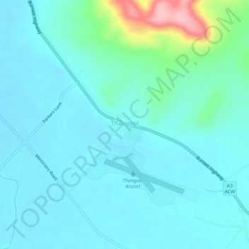
Name: Thangool topographic map, elevation, terrain.
Location: Thangool, Banana Shire, Queensland, Australia (-24.50682 150.55539 -24.46682 150.59539)
Average elevation: 213 m
Minimum elevation: 188 m
Maximum elevation: 349 m
Queensland trails, hiking, mountain biking, running and outdoor activities