
Blue Mount topographic map
Interactive map
Click on the map to display elevation.
About this map
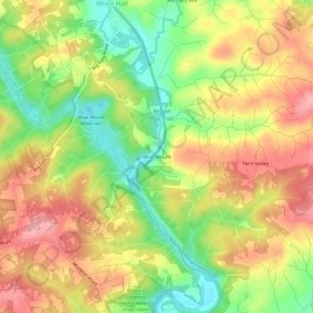
Name: Blue Mount topographic map, elevation, terrain.
Location: Blue Mount, Baltimore County, Maryland, 21111, United States (39.58233 -76.64164 39.62233 -76.60164)
Average elevation: 150 m
Minimum elevation: 85 m
Maximum elevation: 207 m
Other topographic maps
Click on a map to view its topography, its elevation and its terrain.
Glenmoore Local Open Space
United States > Maryland > Baltimore County > Cockeysville
Average elevation: 121 m