
Coolum Creek topographic map
Interactive map
Click on the map to display elevation.
About this map
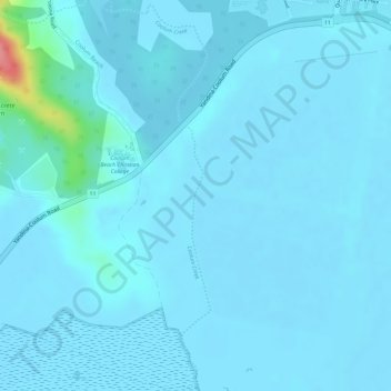
Name: Coolum Creek topographic map, elevation, terrain.
Location: Coolum Creek, Maroochydore, Queensland, 4573, Australia (-26.55128 153.04546 -26.52490 153.05317)
Average elevation: 7 m
Minimum elevation: -1 m
Maximum elevation: 96 m
Queensland trails, hiking, mountain biking, running and outdoor activities
Other topographic maps
Click on a map to view its topography, its elevation and its terrain.