
Sarkand District topographic map
Interactive map
Click on the map to display elevation.
About this map
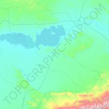
Name: Sarkand District topographic map, elevation, terrain.
Location: Sarkand District, Almaty Region, Kazakhstan (45.02764 77.46550 47.33089 80.80694)
Average elevation: 585 m
Minimum elevation: 335 m
Maximum elevation: 4,403 m
Other topographic maps
Click on a map to view its topography, its elevation and its terrain.