
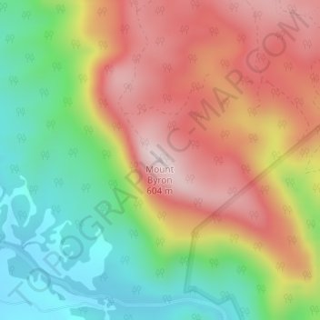
Mount Byron topographic map
Interactive map
Click on the map to display elevation.
About this map
Name: Mount Byron topographic map, elevation, terrain.
Location: Mount Byron, Caboolture, Queensland, 4510, Australia (-27.11501 152.67246 -27.11491 152.67256)
Average elevation: 345 m
Minimum elevation: 98 m
Maximum elevation: 608 m
Queensland trails, hiking, mountain biking, running and outdoor activities
Other topographic maps
Click on a map to view its topography, its elevation and its terrain.