
Pithoragarh topographic map
Interactive map
Click on the map to display elevation.
About this map
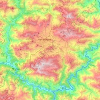
Name: Pithoragarh topographic map, elevation, terrain.
Location: Pithoragarh, Uttarakhand, India (29.44403 80.09943 29.67038 80.40881)
Average elevation: 1,316 m
Minimum elevation: 421 m
Maximum elevation: 2,454 m
Other topographic maps
Click on a map to view its topography, its elevation and its terrain.