
Stockyard topographic map
Interactive map
Click on the map to display elevation.
About this map
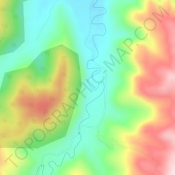
Name: Stockyard topographic map, elevation, terrain.
Location: Stockyard, Toowoomba, Queensland, Australia (-27.66805 152.05223 -27.64805 152.07223)
Average elevation: 349 m
Minimum elevation: 220 m
Maximum elevation: 533 m
Queensland trails, hiking, mountain biking, running and outdoor activities
Other topographic maps
Click on a map to view its topography, its elevation and its terrain.