
Gotland Municipality topographic map
Interactive map
Click on the map to display elevation.
About this map
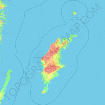
Name: Gotland Municipality topographic map, elevation, terrain.
Location: Gotland Municipality, Gotland County, Sweden (56.70122 17.58746 58.59778 19.72617)
Average elevation: 2 m
Minimum elevation: -1 m
Maximum elevation: 80 m
Other topographic maps
Click on a map to view its topography, its elevation and its terrain.