
Dharchula topographic map
Interactive map
Click on the map to display elevation.
About this map
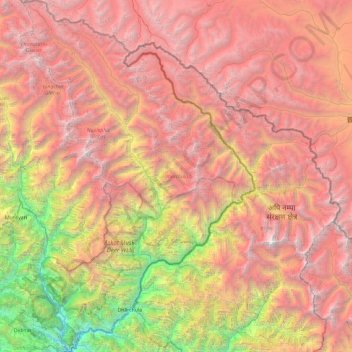
Name: Dharchula topographic map, elevation, terrain.
Location: Dharchula, Pithoragarh, Uttarakhand, 262545, India (29.74992 80.25058 30.56984 81.04479)
Average elevation: 4,011 m
Minimum elevation: 657 m
Maximum elevation: 7,060 m
Other topographic maps
Click on a map to view its topography, its elevation and its terrain.