
Coochin Creek topographic map
Interactive map
Click on the map to display elevation.
About this map
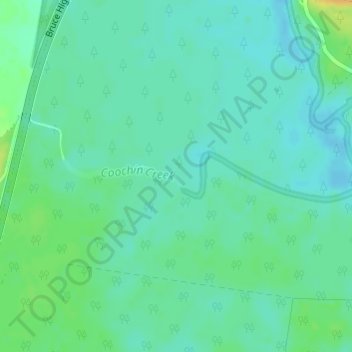
Name: Coochin Creek topographic map, elevation, terrain.
Location: Coochin Creek, Caboolture, Queensland, 4510, Australia (-26.88334 153.01170 -26.88016 153.03155)
Average elevation: 10 m
Minimum elevation: 2 m
Maximum elevation: 29 m
Queensland trails, hiking, mountain biking, running and outdoor activities
Other topographic maps
Click on a map to view its topography, its elevation and its terrain.