
Cox's Creek topographic map
Interactive map
Click on the map to display elevation.
About this map
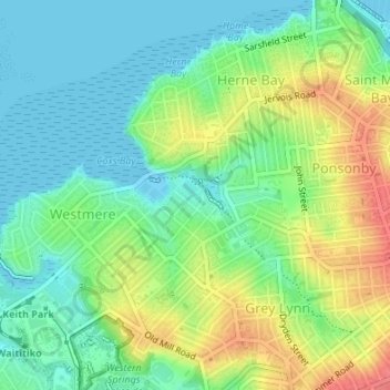
Name: Cox's Creek topographic map, elevation, terrain.
Location: Cox's Creek, Waitemata, Auckland, 1022, New Zealand (-36.85392 174.72535 -36.85041 174.73227)
Average elevation: 25 m
Minimum elevation: -3 m
Maximum elevation: 67 m