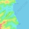
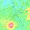
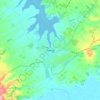
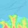
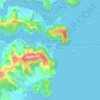
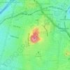
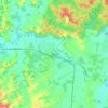
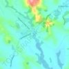
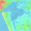
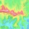
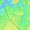
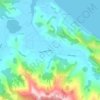
Click on a map to view its topography, its elevation and its terrain.
New Zealand > Auckland > Hibiscus and Bays
Average elevation: 19 m
New Zealand > Auckland > Franklin
Average elevation: 78 m
Average elevation: 32 m
New Zealand > Auckland
Average elevation: 40 m
New Zealand > Auckland > Ōrākei
Average elevation: 11 m
Average elevation: 28 m
Average elevation: 23 m
New Zealand > Auckland > Albert-Eden
Average elevation: 81 m
New Zealand > Auckland > Rodney
Average elevation: 52 m
New Zealand > Auckland > Rodney > Matakana
Average elevation: 26 m
New Zealand > Auckland > Waiheke
Average elevation: 4 m
Average elevation: 43 m
New Zealand > Auckland > Aotea Great Barrier
Average elevation: 17 m
New Zealand > Auckland > Waitakere Ranges
Average elevation: 77 m
New Zealand > Auckland > Ōtara-Papatoetoe
Average elevation: 15 m
Average elevation: 80 m
Average elevation: 8 m
Average elevation: 34 m
As an Amazon Associate, this site earns from qualifying purchases at no extra cost to you.