
Widgee topographic map
Interactive map
Click on the map to display elevation.
About this map
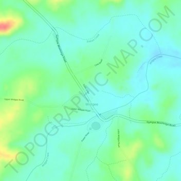
Name: Widgee topographic map, elevation, terrain.
Location: Widgee, Gympie, Queensland, Australia (-26.21020 152.42803 -26.19020 152.44803)
Average elevation: 107 m
Minimum elevation: 87 m
Maximum elevation: 154 m
Queensland trails, hiking, mountain biking, running and outdoor activities
Other topographic maps
Click on a map to view its topography, its elevation and its terrain.