
Roatán topographic map
Interactive map
Click on the map to display elevation.
About this map
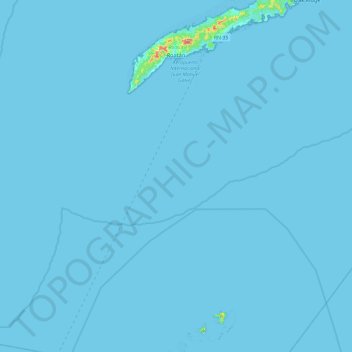
Name: Roatán topographic map, elevation, terrain.
Location: Roatán, Bay Islands, Honduras (15.92825 -86.60303 16.38814 -86.41857)
Average elevation: 1 m
Minimum elevation: 0 m
Maximum elevation: 216 m
Other topographic maps
Click on a map to view its topography, its elevation and its terrain.