
Grantham topographic map
Interactive map
Click on the map to display elevation.
About this map
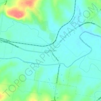
Name: Grantham topographic map, elevation, terrain.
Location: Grantham, Lockyer Valley Regional, Queensland, Australia (-27.59829 152.18080 -27.55829 152.22080)
Average elevation: 125 m
Minimum elevation: 106 m
Maximum elevation: 187 m
Queensland trails, hiking, mountain biking, running and outdoor activities