
Albert Park topographic map
Interactive map
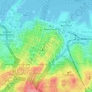
Click on the map to display elevation.
About this map
Name: Albert Park topographic map, elevation, terrain.
Average elevation: 32 m
Minimum elevation: 0 m
Maximum elevation: 100 m
Other topographic maps
Click on a map to view its topography, its elevation and its terrain.
Cox's Creek
New Zealand > Auckland > Waitemata
Cox's Creek, Waitemata, Auckland, 1022, New Zealand
Average elevation: 25 m