
Mount Bauple National Park (Scientific) topographic map
Interactive map
Click on the map to display elevation.
About this map
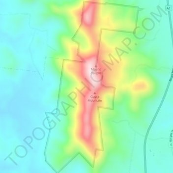
Name: Mount Bauple National Park (Scientific) topographic map, elevation, terrain.
Average elevation: 163 m
Minimum elevation: 38 m
Maximum elevation: 469 m