
Laura topographic map
Interactive map
Click on the map to display elevation.
About this map
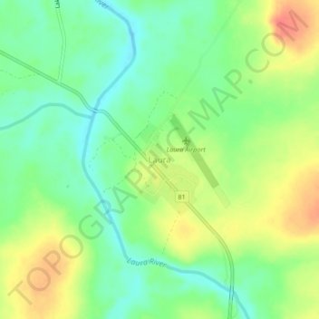
Name: Laura topographic map, elevation, terrain.
Location: Laura, Cook Shire, Queensland, Australia (-15.58129 144.42686 -15.54129 144.46686)
Average elevation: 94 m
Minimum elevation: 71 m
Maximum elevation: 123 m
Queensland trails, hiking, mountain biking, running and outdoor activities