
Morley topographic map
Interactive map
Click on the map to display elevation.
About this map
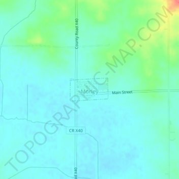
Name: Morley topographic map, elevation, terrain.
Location: Morley, Jones County, Iowa, 52312, United States (42.00444 -91.24971 42.00794 -91.24198)
Average elevation: 249 m
Minimum elevation: 237 m
Maximum elevation: 296 m
Other topographic maps
Click on a map to view its topography, its elevation and its terrain.
Morley
United States > Iowa > Jones County > Morley > Morley
Morley, Jones County, Iowa, 52312, United States
Average elevation: 253 m
Onslow
United States > Iowa > Jones County > Onslow
Onslow, Jones County, Iowa, United States
Average elevation: 277 m