
Jarvis Bay topographic map
Interactive map
Click on the map to display elevation.
About this map
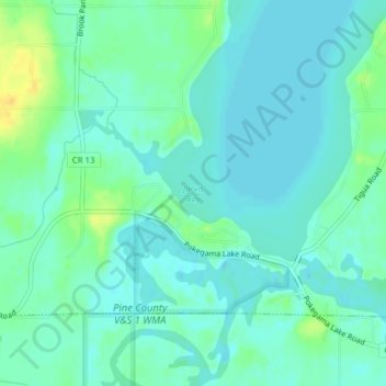
Name: Jarvis Bay topographic map, elevation, terrain.
Location: Jarvis Bay, Pine County, Minnesota, United States (45.82602 -93.05165 45.82612 -93.05155)
Average elevation: 286 m
Minimum elevation: 279 m
Maximum elevation: 305 m
Other topographic maps
Click on a map to view its topography, its elevation and its terrain.