Geolocate

Kurrawa topographic map

Interactive map

Click on the map to display elevation.

About this map

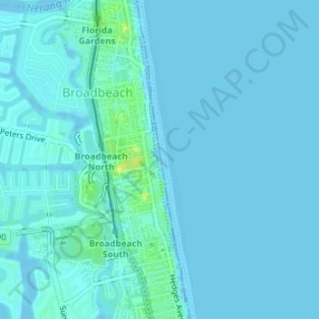
Name: Kurrawa topographic map, elevation, terrain.

Location: Kurrawa, Gold Coast, Queensland, 4217, Australia (-28.03928 153.42530 -28.01928 153.44530)

Average elevation: 2 m

Minimum elevation: -4 m

Maximum elevation: 20 m

Queensland trails, hiking, mountain biking, running and outdoor activities

Other topographic maps

Click on a map to view its topography, its elevation and its terrain.

Reedy Creek

Australia > Queensland > Gold Coast

Average elevation: 16 m

Reedy Creek

Australia > Queensland > Gold Coast

Average elevation: 40 m

Araucaria Forest

Australia > Queensland > Gold Coast

Average elevation: 6 m

Reedy Creek

Australia > Queensland > Gold Coast

Average elevation: 25 m

Coomera River

Australia > Queensland > Gold Coast

Average elevation: 563 m

Nerang River

Australia > Queensland > Gold Coast

Average elevation: 492 m

Kingsholme

Australia > Queensland > Gold Coast

Average elevation: 127 m