
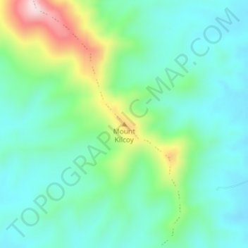
Mount Kilcoy topographic map
Interactive map
Click on the map to display elevation.
About this map
Name: Mount Kilcoy topographic map, elevation, terrain.
Location: Mount Kilcoy, Caboolture, Queensland, 4510, Australia (-26.88227 152.56689 -26.88217 152.56699)
Average elevation: 204 m
Minimum elevation: 118 m
Maximum elevation: 445 m
Queensland trails, hiking, mountain biking, running and outdoor activities
Other topographic maps
Click on a map to view its topography, its elevation and its terrain.