
Point Lookout topographic map
Interactive map
Click on the map to display elevation.
About this map
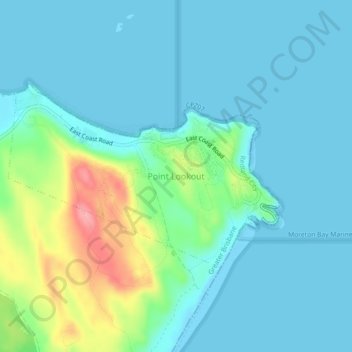
Name: Point Lookout topographic map, elevation, terrain.
Location: Point Lookout, Queensland, Australia (-27.45130 153.51324 -27.41130 153.55324)
Average elevation: 22 m
Minimum elevation: -2 m
Maximum elevation: 109 m
Queensland trails, hiking, mountain biking, running and outdoor activities