
Malanda topographic map
Interactive map
Click on the map to display elevation.
About this map
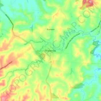
Name: Malanda topographic map, elevation, terrain.
Location: Malanda, Tablelands Regional, Queensland, Australia (-17.39222 145.55565 -17.31222 145.63565)
Average elevation: 744 m
Minimum elevation: 688 m
Maximum elevation: 830 m
Queensland trails, hiking, mountain biking, running and outdoor activities