
Warra topographic map
Interactive map
Click on the map to display elevation.
About this map
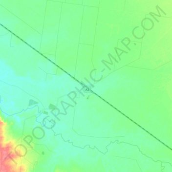
Name: Warra topographic map, elevation, terrain.
Location: Warra, Western Downs Regional, Queensland, Australia (-27.01233 150.86732 -26.84163 151.02161)
Average elevation: 323 m
Minimum elevation: 309 m
Maximum elevation: 368 m
Queensland trails, hiking, mountain biking, running and outdoor activities