
Landsborough topographic map
Interactive map
Click on the map to display elevation.
About this map
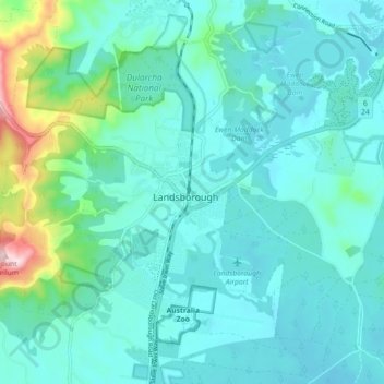
Name: Landsborough topographic map, elevation, terrain.
Location: Landsborough, Sunshine Coast, Queensland, 4550, Australia (-26.84938 152.92568 -26.76938 153.00568)
Average elevation: 69 m
Minimum elevation: 6 m
Maximum elevation: 406 m
Queensland trails, hiking, mountain biking, running and outdoor activities