
Stretton topographic map
Interactive map
Click on the map to display elevation.
About this map
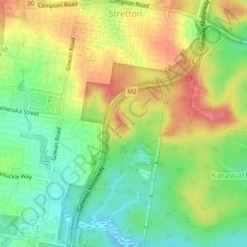
Name: Stretton topographic map, elevation, terrain.
Location: Stretton, Brisbane City, Queensland, Australia (-27.64089 153.05356 -27.61110 153.08155)
Average elevation: 63 m
Minimum elevation: 27 m
Maximum elevation: 105 m
Queensland trails, hiking, mountain biking, running and outdoor activities
Other topographic maps
Click on a map to view its topography, its elevation and its terrain.