Geolocate

Corn topographic map

Click on the map to display elevation.

About this map

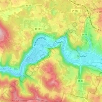
Name: Corn topographic map, elevation, terrain.

Location: Corn, Figeac, Lot, Occitania, Metropolitan France, 46100, France (44.57622 1.85378 44.62917 1.91567)

Average elevation: 286 m

Minimum elevation: 165 m

Maximum elevation: 424 m

Gear up for your next adventure:

📚Map Reading & Navigation Guides - Master the art of interpreting topographic contours and symbols
🔥Camping Stoves - Portable stoves for outdoor cooking
🥾Hiking Boots - Durable hiking boots for trails and rough terrain
💧Personal Water Filters - Drink safely from streams and lakes identified on your map
🦟Heavy Duty Insect Repellent - Essential protection against flies, mozzies, and march flies

As an Amazon Associate, this site earns from qualifying purchases at no extra cost to you.