
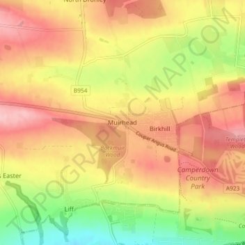
Muirhead topographic map
Interactive map
Click on the map to display elevation.
About this map
Name: Muirhead topographic map, elevation, terrain.
Location: Muirhead, Angus, Scotland, DD2 5QN, United Kingdom (56.47736 -3.08790 56.51736 -3.04790)
Average elevation: 121 m
Minimum elevation: 39 m
Maximum elevation: 183 m
Other topographic maps
Click on a map to view its topography, its elevation and its terrain.
Ashens
United Kingdom > Scotland > Angus
Ashens, Angus, Scotland, DD8 5JT, United Kingdom
Average elevation: 396 m
Arbroath
United Kingdom > Scotland > Angus
Arbroath, Angus, Scotland, DD11 1DP, United Kingdom
Average elevation: 24 m