
Asti topographic map
Interactive map
Click on the map to display elevation.
About this map
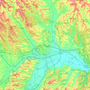
Name: Asti topographic map, elevation, terrain.
Location: Asti, Piémont, 14100, Italie (44.84102 8.08798 44.99455 8.31671)
Average elevation: 173 m
Minimum elevation: 100 m
Maximum elevation: 304 m
Other topographic maps
Click on a map to view its topography, its elevation and its terrain.