
Ferreri topographic map
Interactive map
Click on the map to display elevation.
About this map
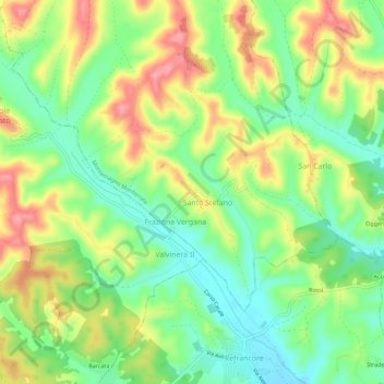
Name: Ferreri topographic map, elevation, terrain.
Location: Ferreri, Montemagno Monferrato, Asti, Piémont, 14030, Italie (44.93359 8.31605 44.97359 8.35605)
Average elevation: 185 m
Minimum elevation: 138 m
Maximum elevation: 245 m
Other topographic maps
Click on a map to view its topography, its elevation and its terrain.