
Göschenen topographic map
Interactive map
Click on the map to display elevation.
About this map
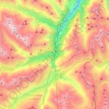
Name: Göschenen topographic map, elevation, terrain.
Location: Göschenen, Uri, 6487, Schweiz (46.61863 8.39736 46.71716 8.64198)
Average elevation: 2,083 m
Minimum elevation: 654 m
Maximum elevation: 3,390 m
Other topographic maps
Click on a map to view its topography, its elevation and its terrain.
Andermatt
Schweiz > Uri > Korporation Ursern
Andermatt, Korporation Ursern, Uri, 6490, Schweiz
Average elevation: 2,127 m
Klausenpass
Klausenpass, Klausenstrasse, Spiringen, Uri, Schweiz
Average elevation: 2,103 m
Oberalppass
Schweiz > Uri > Korporation Ursern > Andermatt
Oberalppass, Andermatt, Korporation Ursern, Uri, 6490, Schweiz
Average elevation: 2,219 m
Hüfi
Schweiz > Uri > Urnerboden
Hüfi, Firnen, Urnerboden, Spiringen, Uri, 8751, Schweiz
Average elevation: 1,902 m