
Jezza topographic map
Interactive map
Click on the map to display elevation.
About this map
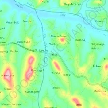
Name: Jezza topographic map, elevation, terrain.
Location: Jezza, Mpigi, Central Region, Uganda (0.33571 32.22758 0.41571 32.30758)
Average elevation: 1,173 m
Minimum elevation: 1,117 m
Maximum elevation: 1,324 m
Other topographic maps
Click on a map to view its topography, its elevation and its terrain.