
Kaddakiro topographic map
Interactive map
Click on the map to display elevation.
About this map
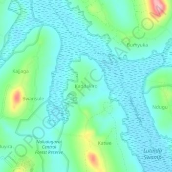
Name: Kaddakiro topographic map, elevation, terrain.
Location: Kaddakiro, Mpigi, Central Region, Uganda (0.18966 32.24313 0.22966 32.28313)
Average elevation: 1,178 m
Minimum elevation: 1,144 m
Maximum elevation: 1,306 m
Other topographic maps
Click on a map to view its topography, its elevation and its terrain.