Geolocate

Longreach topographic map

Click on the map to display elevation.

About this map

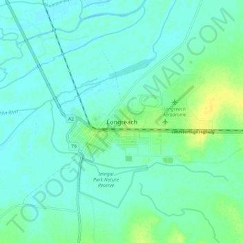
Name: Longreach topographic map, elevation, terrain.

Location: Longreach, Longreach Regional, Queensland, 4730, Australia (-23.47784 144.21869 -23.39784 144.29869)

Average elevation: 186 m

Minimum elevation: 181 m

Maximum elevation: 199 m

Queensland trails, hiking, mountain biking, running and outdoor activities

Gear up for your next adventure:

🔪Camping Knives - Multi-purpose outdoor knives
📖Australian Bush Survival Books - Local knowledge on finding water and surviving the outback
🖼️Scratch-off Australia Map - Track the regions and peaks you have explored geographically
☀️Portable Solar Chargers - High-efficiency panels to hang on your backpack while walking
🥤Outdoor Water Bottles - Reusable bottles for outdoor activities

As an Amazon Associate, this site earns from qualifying purchases at no extra cost to you.