
Union County topographic map
Interactive map
Click on the map to display elevation.
About this map
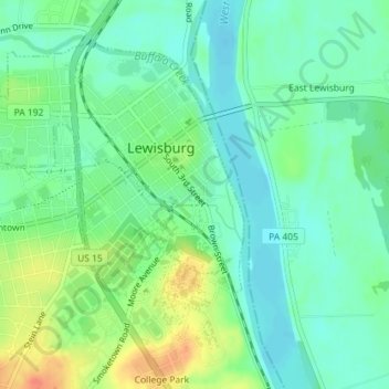
Name: Union County topographic map, elevation, terrain.
Average elevation: 143 m
Minimum elevation: 126 m
Maximum elevation: 175 m
Other topographic maps
Click on a map to view its topography, its elevation and its terrain.
Lewisburg
United States > Pennsylvania > Union County > Lewisburg
Lewisburg, Union County, Pennsylvania, 17837, United States
Average elevation: 157 m