
Mills County topographic map
Interactive map
Click on the map to display elevation.
About this map
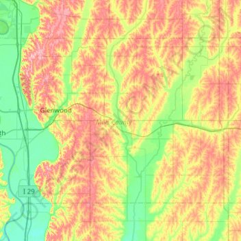
Name: Mills County topographic map, elevation, terrain.
Location: Mills County, Iowa, USA (40.90017 -95.88335 41.15990 -95.38360)
Average elevation: 333 m
Minimum elevation: 280 m
Maximum elevation: 405 m
Other topographic maps
Click on a map to view its topography, its elevation and its terrain.
Exposition Park
USA > Iowa > Fort Dodge
Exposition Park, Fort Dodge, Webster County, Iowa, USA
Average elevation: 329 m