Geolocate

Dalby topographic map

Click on the map to display elevation.

About this map

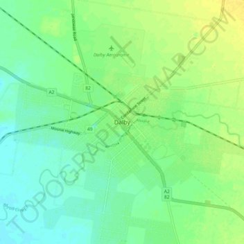
Name: Dalby topographic map, elevation, terrain.

Location: Dalby, Western Downs Regional, Queensland, 4405, Australia (-27.22226 151.22342 -27.14226 151.30342)

Average elevation: 344 m

Minimum elevation: 335 m

Maximum elevation: 356 m

Queensland trails, hiking, mountain biking, running and outdoor activities

Gear up for your next adventure:

🗺️Topographic Maps - Detailed maps for hiking and navigation
🧢Outdoor Sun Hats - Sun protection hats for hiking
🏃Compression Recovery Socks - Reduce leg fatigue after heavy days of elevation gain
🪑Portable Backpacking Chairs - A comfortable seat for studying maps at the end of the day
🖼️Scratch-off Australia Map - Track the regions and peaks you have explored geographically

As an Amazon Associate, this site earns from qualifying purchases at no extra cost to you.