
Adil Pur عادل پور topographic map
Interactive map
Click on the map to display elevation.
About this map
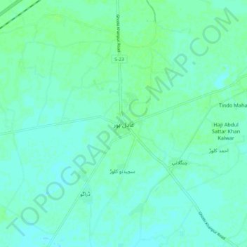
Name: Adil Pur عادل پور topographic map, elevation, terrain.
Location: Adil Pur عادل پور, Sindh, Pakistan (27.89807 69.27918 27.97807 69.35918)
Average elevation: 68 m
Minimum elevation: 64 m
Maximum elevation: 72 m
Other topographic maps
Click on a map to view its topography, its elevation and its terrain.
Karachi Division
Karachi lies very close to a major fault line, where the Indian tectonic plate meets the Arabian tectonic plate. Within the city of Karachi are two small ranges: the Khasa Hills and Mulri Hills, which lie in the northwest and act as a barrier between North Nazimabad and Orangi. Karachi's hills are barren and…
Average elevation: 89 m