
Keti Bandar topographic map
Interactive map
Click on the map to display elevation.
About this map
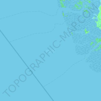
Name: Keti Bandar topographic map, elevation, terrain.
Location: Keti Bandar, Sindh, 73241, Pakistan (23.84119 67.01047 24.22135 67.58726)
Average elevation: 0 m
Minimum elevation: -2 m
Maximum elevation: 4 m
Other topographic maps
Click on a map to view its topography, its elevation and its terrain.
Hyderabad
Located at 25.367 °N latitude and 68.367 °E longitude with an elevation of 13 metres (43 ft), Hyderabad is located on the east bank of the Indus River and is roughly 150 kilometres (93 mi) away from Karachi, the provincial capital. Two of Pakistan's largest highways, the Indus Highway and the National…
Average elevation: 28 m