
Norah topographic map
Interactive map
Click on the map to display elevation.
About this map
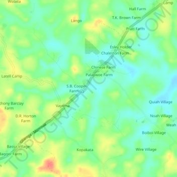
Name: Norah topographic map, elevation, terrain.
Location: Norah, Kakata, Margibi County, Liberia (6.57713 -10.30253 6.61713 -10.26253)
Average elevation: 103 m
Minimum elevation: 82 m
Maximum elevation: 135 m
Other topographic maps
Click on a map to view its topography, its elevation and its terrain.
Bejin
Liberia > Margibi County > Kakata > Bejin
Bejin, Kakata, Margibi County, Liberia
Average elevation: 92 m