
South Karamoja Hunting Area topographic map
Interactive map
Click on the map to display elevation.
About this map
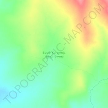
Name: South Karamoja Hunting Area topographic map, elevation, terrain.
Location: South Karamoja Hunting Area, Moroto, Northern Region, Uganda (2.30289 34.75997 2.34289 34.79997)
Average elevation: 1,385 m
Minimum elevation: 1,351 m
Maximum elevation: 1,434 m
Other topographic maps
Click on a map to view its topography, its elevation and its terrain.