
circonscription administrative El M'Ghair topographic map
Interactive map
Click on the map to display elevation.
About this map
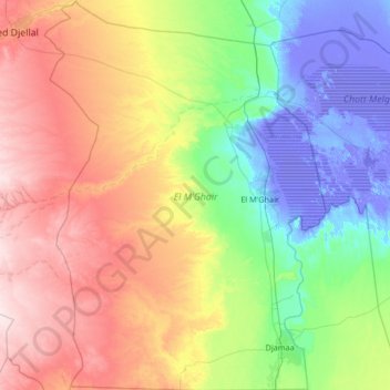
Name: circonscription administrative El M'Ghair topographic map, elevation, terrain.
Location: circonscription administrative El M'Ghair, El Oued, 39200, RADP (33.40466 5.18272 34.51109 6.14675)
Average elevation: 108 m
Minimum elevation: -32 m
Maximum elevation: 348 m
Other topographic maps
Click on a map to view its topography, its elevation and its terrain.