
復勢里 topographic map
Interactive map
Click on the map to display elevation.
About this map
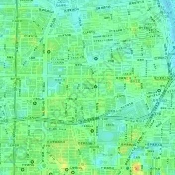
Name: 復勢里 topographic map, elevation, terrain.
Location: 復勢里, District de Songshan, Taipei, Taïwan (25.04806 121.55417 25.05162 121.55789)
Average elevation: 14 m
Minimum elevation: -1 m
Maximum elevation: 33 m
Other topographic maps
Click on a map to view its topography, its elevation and its terrain.