
興邦里 topographic map
Interactive map
Click on the map to display elevation.
About this map
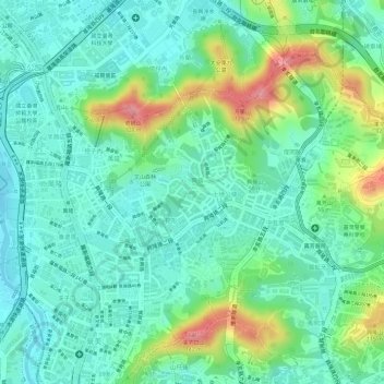
Name: 興邦里 topographic map, elevation, terrain.
Location: 興邦里, District de Wenshan, Taipei, Taïwan (24.99984 121.54425 25.00536 121.55180)
Average elevation: 35 m
Minimum elevation: 0 m
Maximum elevation: 112 m
Other topographic maps
Click on a map to view its topography, its elevation and its terrain.