
Laguna Llaca topographic map
Interactive map
Click on the map to display elevation.
About this map
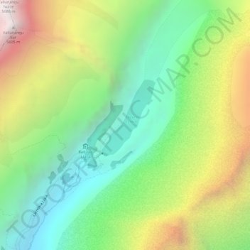
Name: Laguna Llaca topographic map, elevation, terrain.
Average elevation: 4,825 m
Minimum elevation: 4,276 m
Maximum elevation: 5,589 m
Other topographic maps
Click on a map to view its topography, its elevation and its terrain.
Las Lomas
Perú > Áncash > Independencia
Las Lomas, Independencia, Huaraz, Áncash, 02002, Perú
Average elevation: 3,157 m