
서구 topographic map
Interactive map
Click on the map to display elevation.
About this map
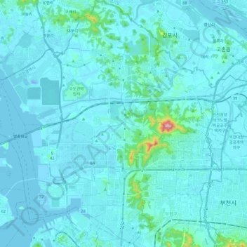
Name: 서구 topographic map, elevation, terrain.
Location: 서구, Inchon, Corée du Sud (37.47108 126.52973 37.63902 126.72529)
Average elevation: 23 m
Minimum elevation: -18 m
Maximum elevation: 375 m
Other topographic maps
Click on a map to view its topography, its elevation and its terrain.