
중구 topographic map
Interactive map
Click on the map to display elevation.
About this map
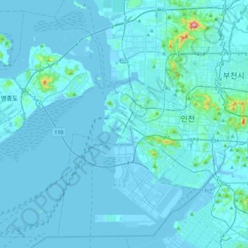
Name: 중구 topographic map, elevation, terrain.
Location: 중구, Inchon, Corée du Sud (37.33144 126.31685 37.56838 126.64404)
Average elevation: 13 m
Minimum elevation: -3 m
Maximum elevation: 375 m
Other topographic maps
Click on a map to view its topography, its elevation and its terrain.