
Fedje topographic map
Interactive map
Click on the map to display elevation.
About this map
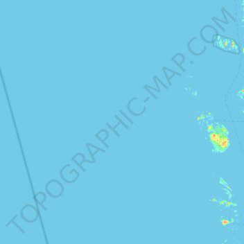
Name: Fedje topographic map, elevation, terrain.
Location: Fedje, Vestland, 5947, Norwegen (60.68782 4.18477 60.88722 4.79118)
Average elevation: 0 m
Minimum elevation: 0 m
Maximum elevation: 29 m
Other topographic maps
Click on a map to view its topography, its elevation and its terrain.